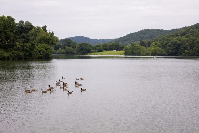
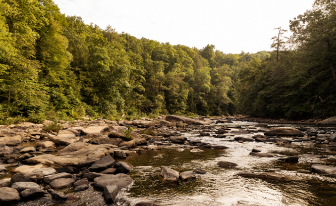
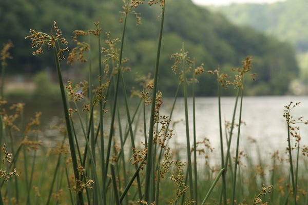
Extensive forests. Bountiful rainfall. Rich soil. West Virginia’s diverse landscape is home to a wide array of plants, animals and fungi. Here, you’ll find more than 57 species of amphibians and reptiles, 70 wild mammals, 178 species of fish, nearly 300 species of bird and numerous species of plants and fungi. Step outside and explore West Virginia’s incredible abundance of plants, animals and fungi.
Native Species
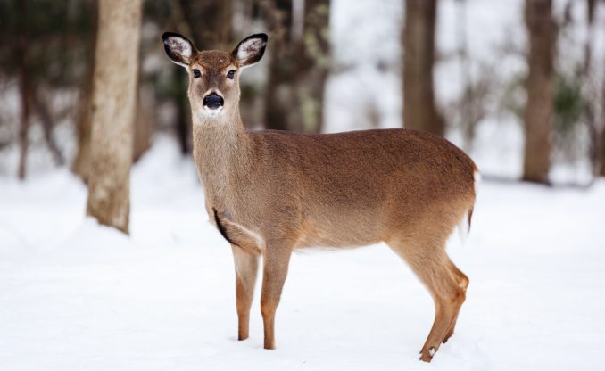
MAMMALS
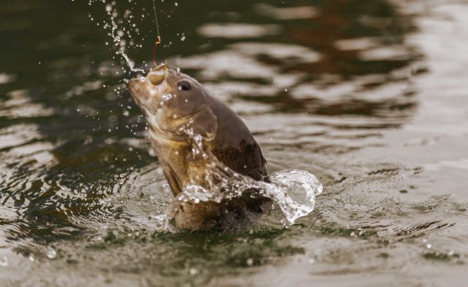
FISH
FRESHWATER MUSSELS
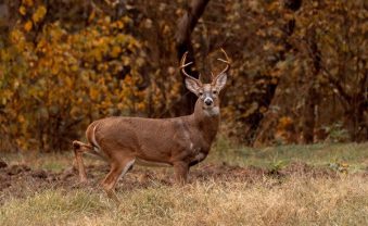
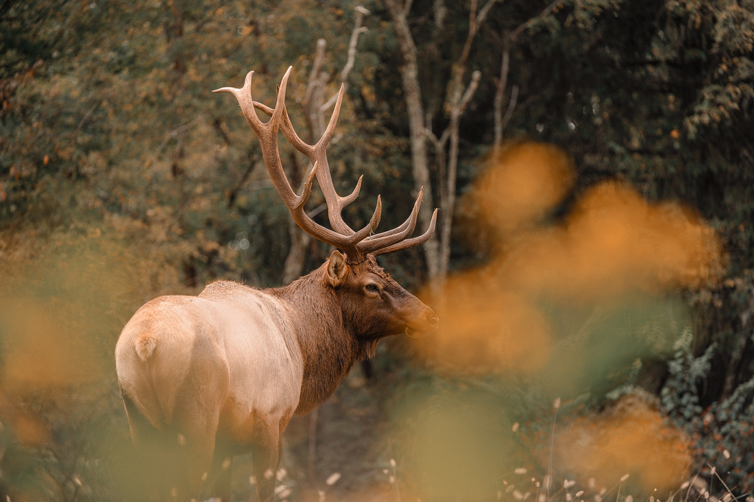
BIG GAME
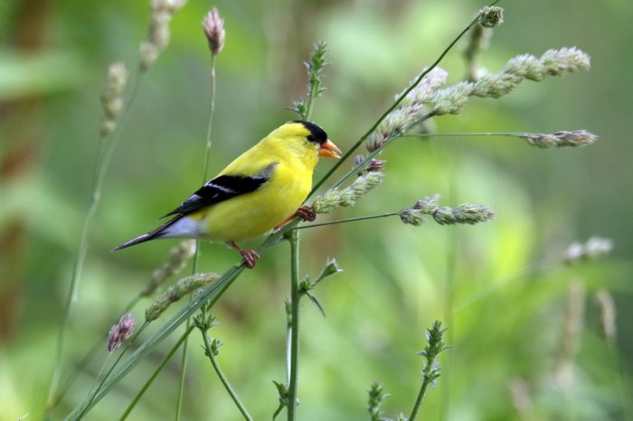
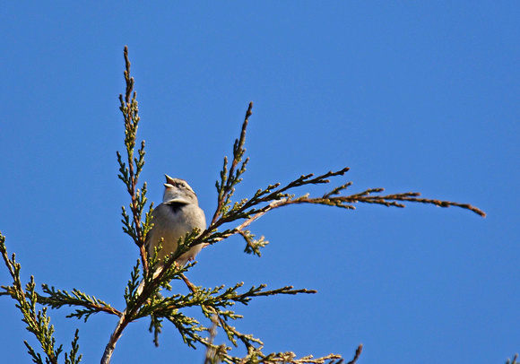
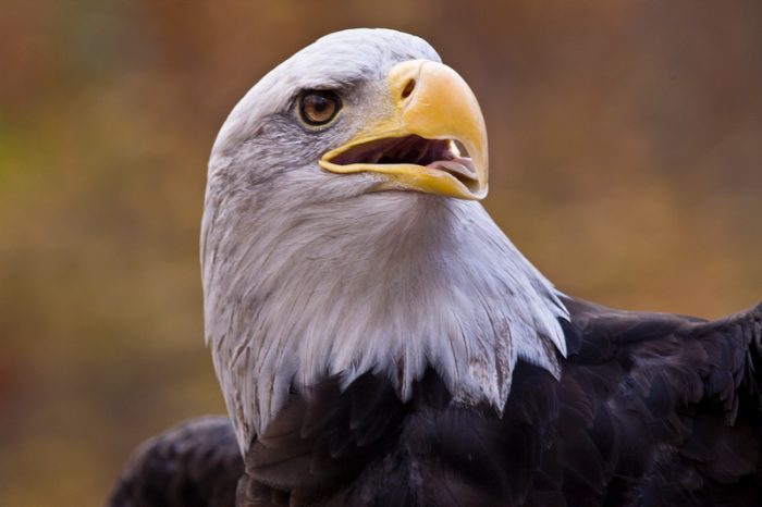
BIRDS
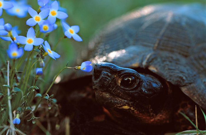
AMPHIBIANS & REPTILES
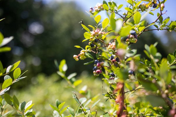
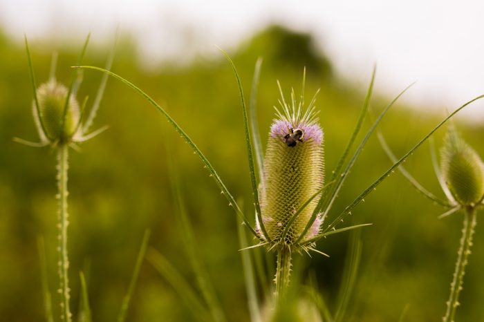
PLANTS & FUNGI
Conservation
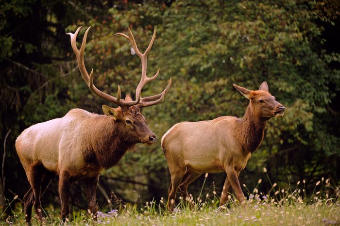
ELK RESTORATION
EXOTIC & INVASIVE SPECIES
SONGBIRD FOREST MANAGEMENT GUIDELINES
RARE, THREATENED & ENDANGERED SPECIES

NUISSANCE WILDLIFE
Research
SCIENTIFIC COLLECTING PERMIT
SURVEYS